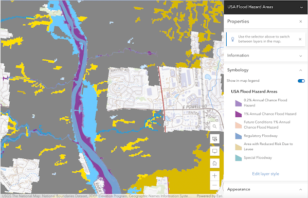
Flood Plain Map of the Olentangy River Watershed The map I created is of the Olentangy River watershed. I chose the area near the upper portion of the river before it reached the city of Columbus. I was interested in this specific location because of its geological formation. This area has cuffs and changes in elevation, which is different from most of the city of Columbus, so I was interested in seeing how flooding could affect the area. Since many tributaries flow into the river at this I wanted to see how that would potentially affect flooding in the area. I also wanted to add a couple of maps that I found on FEMAs website that were interesting to me. I chose these maps because one is on the upper portion of the river while the other focuses on the confluence of the Olentangy river and the Scioto river. this was interesting to me because of how the meeting of the two rivers could potentially affect flooding around the city.